Johnson Ridge Observatory - Eruption Trail, 6/27/07


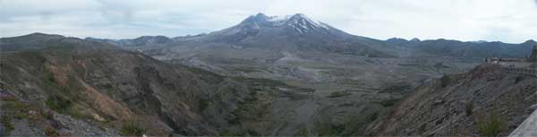
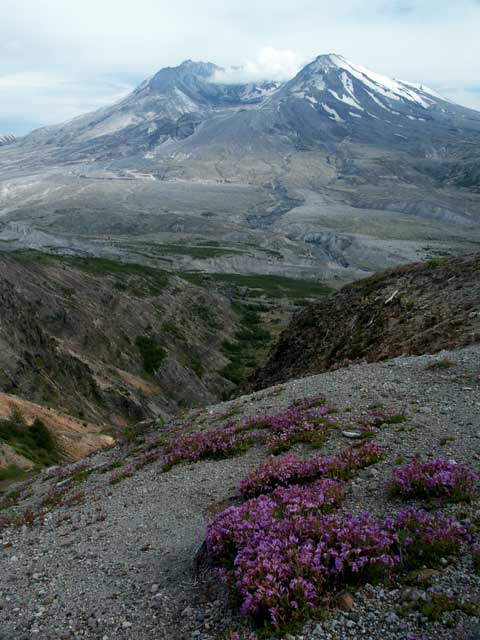
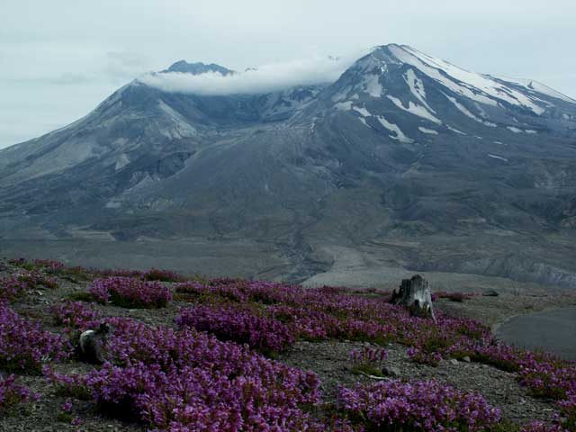
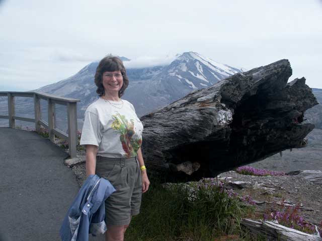
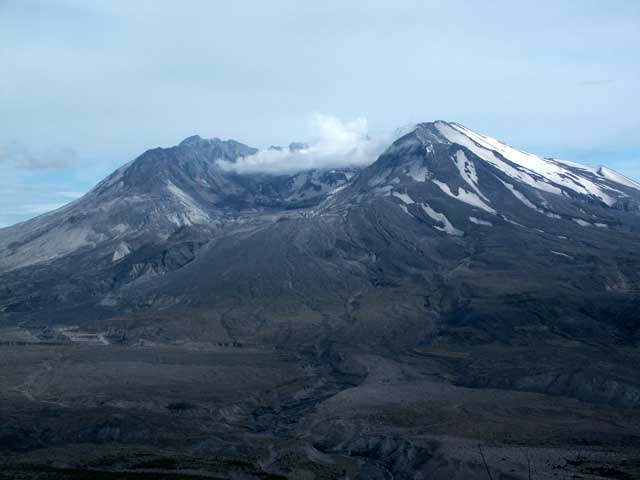
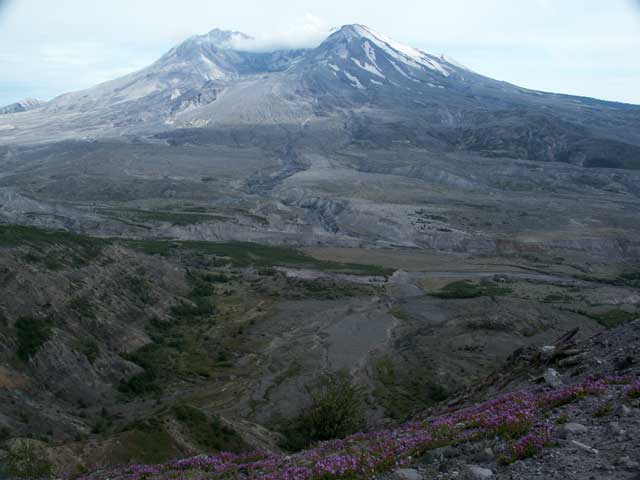
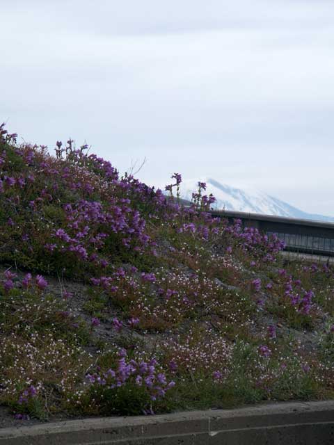
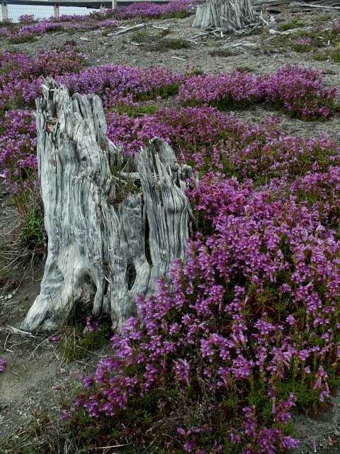
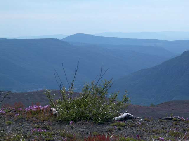
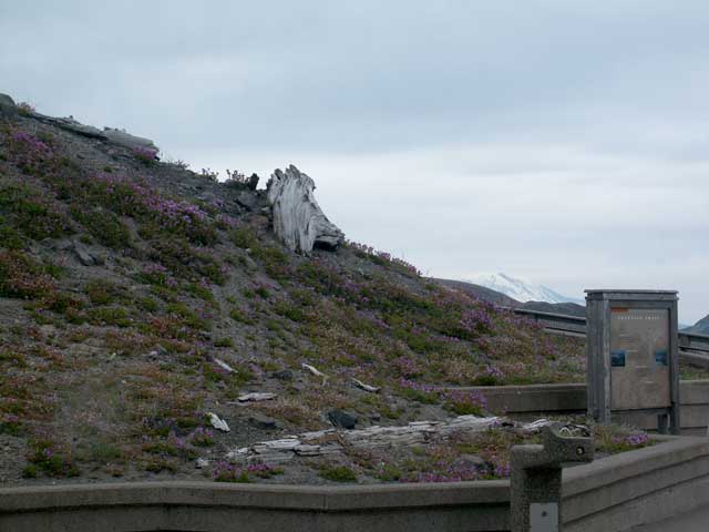
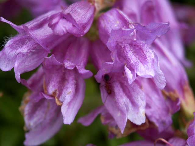
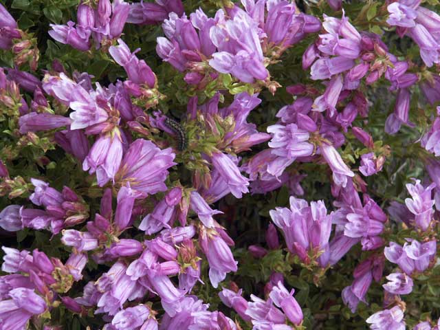
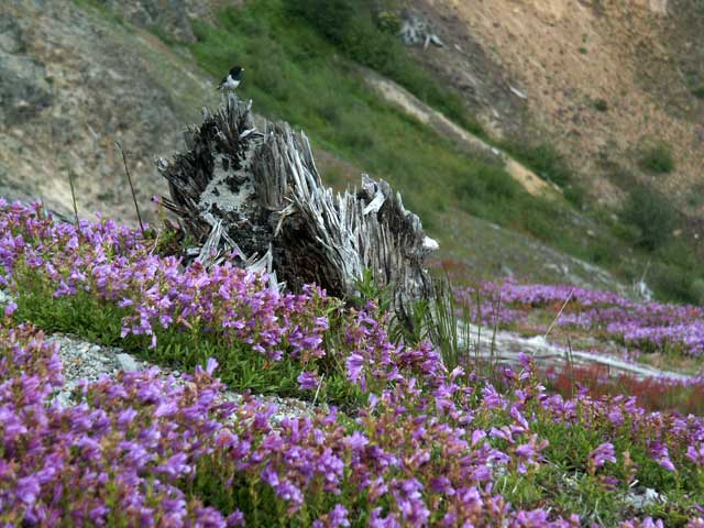
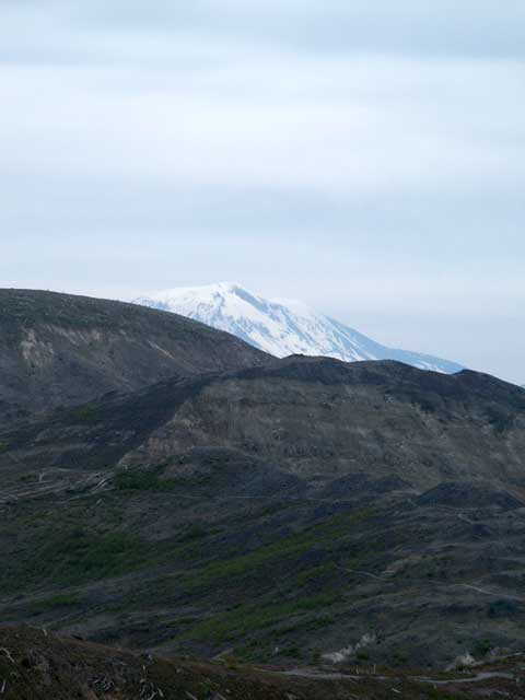
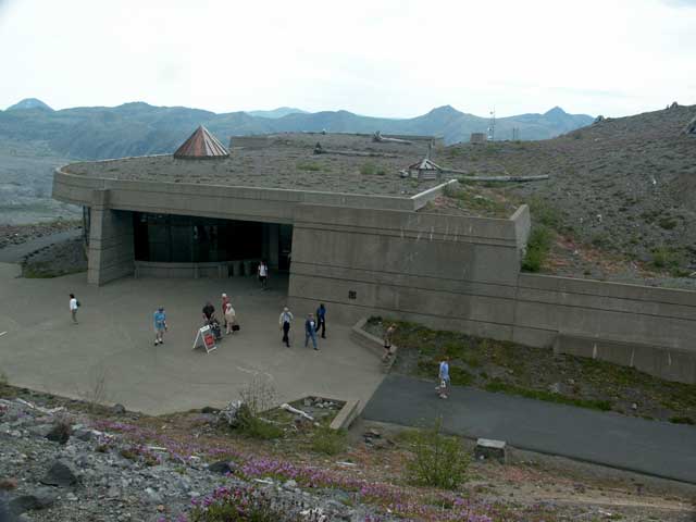
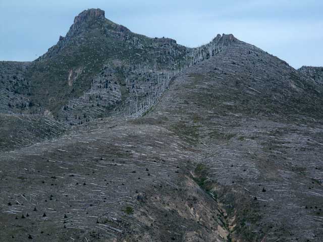
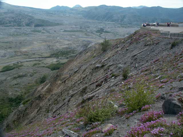
Panorama of Mount St. Helens after more than a quarter of a century makes a mark since the last eruption.

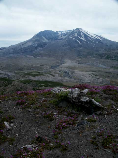
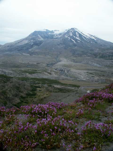
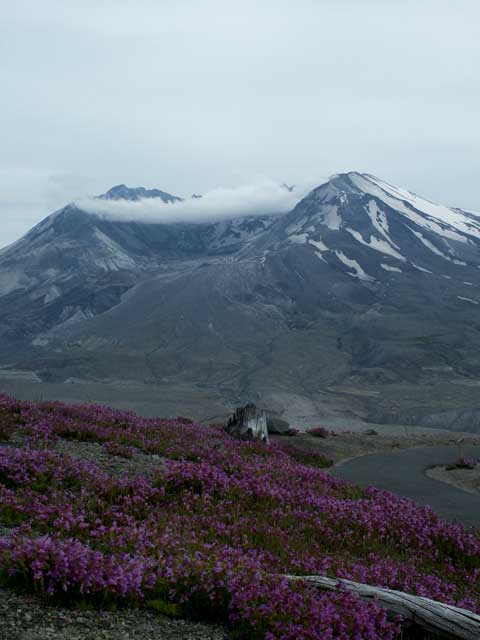
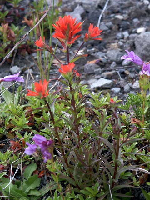
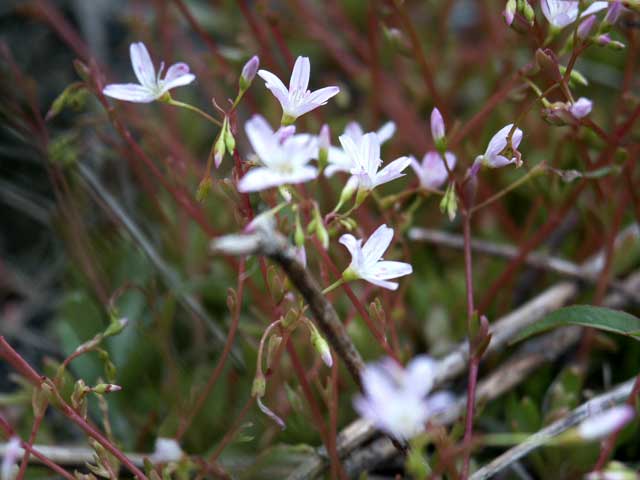
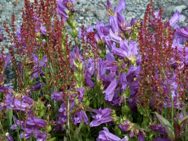
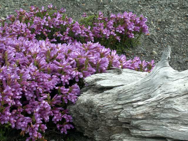
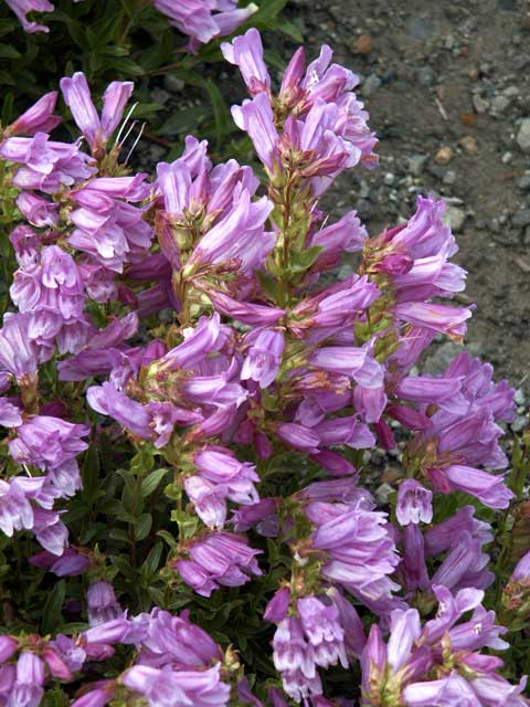
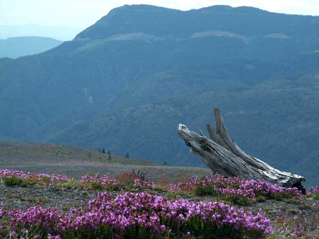
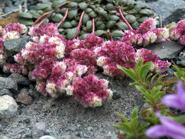
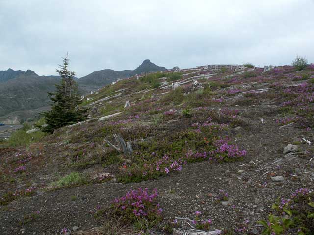
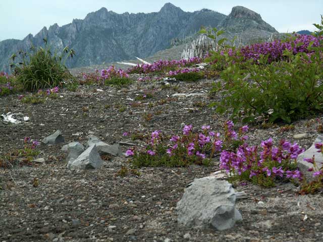
Hover the mouse over a picture below to show the caption; click to enlarge it.

Each of the 5 world-class visitor centers in Cowlitz County, gateway to Mount St. Helens, provides unique perspective & insight into the mountain, with history & lessons learned. The on-going eruption is startling, in terms of its longevity (2½ years) and the largely non-explosive spine extrusions pushing up through the crater floor, growing the dome. A 9-hour vertical plume reached 15 mi. high. 50-80 m.p.h. pyroclastic flows 1380-1560°F (ave. 570-1350°F) for 5 mi. 130' deep—and 90 m.p.h. lahar mudflows—razed the area. October 2004 Mt. St. Helens erupts after 18 years of quiet. By October 2006, seven massive spines were extruded (114 million cubic yards) to reach 1300 feet; mid-2007 the "new" lava dome is taller than the Empire State Building.
Deep beneath the Cascade Mountains in the Northwest, molten magma heats the earth's crust and occasionally bursts through cracks and fractures into violent eruptions. Harnessing geothermal energy may help power the region. Ruth stands in the heart of the blast zone with views of the lava dome, crater, pumice plain, and the landslide deposit. 500 miles of trails through Mt. St. Helens landscape await! In less than 10 minutes, the eruption leveled 230 square miles of forest as it blew off 1300 feet of height. Cement-like lahars—glacial melt water & boulder slurries— scoured & buried streams draining away from the volcano.
Beautiful bright summer wildflowers like Indian paintbrush and penstemon begin to flourish, evidence of the earth's tremendous power & the mind-boggling resiliency of life. Natural revegetation—like a little patch of oxalis—started in a month after the eruption; fireweed, braken fern, thistle, pearly everlasting, and groundsel now commonly grow at elevations between 1,500 to 3,000 feet above sea level. The eruption of Mt. St. Helens in southwest Washington, a brutal disaster, turned 150 square miles of countryside into gray wasteland. Sorrel & penstemon establish a foothold here on top of the tons of spewed volcanic ash and gravel. Mt. St. Helens National Volcanic Monument, with additional 300,000 acres of surrounding National Forest, is one of 3 units in the 1.4 million-acre Gifford Pinchot National Forest.
Valleys scoured with lahars sprout carpets of wildflowers; plants & animals re-colonize the recovering volcanic slopes where forests had flourished in the rich volcanic soil. Penstemon, at the observatory posthumously honoring David Johnston, a federal geologist who perished there seconds after radioing the 1980 blast to the USGS base in Vancouver, Washington: Vancouver! Vancouver! This is it! The 1980 eruption transformed the land: gravity, water, and wind are gradually reshaping the dynamic natural landscape together with re-established plant and animals. The 1980 volcanic disturbance of Mount St. Helens shaped an acute array of landforms; today's ecosystems teem with plant & animal life in the shadow of an active volcano.
The native pussypaws (Portulacaceae - Purslane family), an attractive low, mat-forming perennial with flowers in dense pink clusters resembling upturned pads of cats' feet, grows here on open subalpine ridges & sandy to gravelly slopes. When the mountain showed increased seismic activity the spring of 1980, scientists flocked to the area to study the awakening. Few could have predicted the effects of the Sunday, May 18, 1980 eruption that started at 8:32 a.m. The volcano's unstable north flank collapsed, crashing into the valley, forming the largest landslide in recorded history. Fiery avalanches of pumice and hot gasses (pyroclastic flows) poured into the valley north of the crater.
Start of the Eruption Trail, with interpretative signs describing how the complex volcanic event shaped the surrounding landscape, sterilizing everything in its path. Ant within a Cardwell's penstemon (beardtongue) floret. Caterpillar munching in Cardwell's penstemon blooms. Boldly marked Dark-Eyed Junco—adult male, Oregon form —a bird that nests beside logs & thus loves Mt. St. Helens, sits atop a shattered tree stump splintered to smithereens.
A massive landslide (debris avalanche), burying 14 miles of river valley to an average depth of 150', released trapped magma and gas, producing a sideways explosion (lateral blast) that killed trees 17 miles north of the volcano. Johnston Ridge Observatory, elevation 3,091'. We saw live seismographs & a 16-minute movie, learned how scientists monitor the mountain, perused geologic exhibits, enjoyed a ranger-led program—and supported the bookstore. Some trees, killed instantly by hot gases, remain standing; others point the direction they were toppled by the blast. Johnson Ridge Observatory, 7 miles north of the volcano, features interpretative talks, eyewitness eruption accounts, a wide-screen theater presentation, geological exhibits, and astounding proximity to the crater & emerging lava dome.

Our Travels Page  Our Home Page  Return to Pacific Northwest:  Washington & Oregon